





Interactive cosmic scale
3D Map of the Universe
Explore a 3D map of the universe through six connected scales, from Earth and the Solar System to the Milky Way, Local Group, Laniakea and the cosmic web.
Begin at Earth, the observing point from which distances, directions and the history of incoming light are measured.
Drag to orbit · scroll to zoom · right-drag to pan
How to Use the 3D Map of the Universe
Select a level in the scale rail to move from Earth to progressively larger cosmic structures. Drag the scene to change your viewing angle, then use the mouse wheel, trackpad or zoom controls to inspect the current model. The main action button opens the dedicated map for that scale when one is available.
The six scenes are not one continuously scaled physical model. The distance between Earth and the Moon, the width of the Solar System and the span of the observable cosmic web differ by enormous factors. Compressing all of them into one linear scene would make almost every smaller structure invisible.
Scale disclosure: object sizes, separations, brightness and particle density are adjusted independently in each scene for clarity. Labels describe the real astronomical context; the visual arrangement is an educational model.
Your Cosmic Address in Six Steps
Earth orbits the Sun within the Solar System. The Sun lies inside the Milky Way, which belongs to the Local Group of galaxies. That group sits within the much larger Laniakea region, while galaxies and clusters across the universe trace filaments, walls and voids collectively called the cosmic web.
This nested address is the central idea of the experience. Each step changes not only distance, but also the type of structure being mapped: a planet, an orbital system, a galaxy, a gravitationally bound galaxy group, a flow-defined supercluster and finally the large-scale distribution of matter.
Earth: The Center of Our Observations
Earth is not the physical center of the universe. It appears at the starting point because astronomy is an observational science: directions, redshifts, parallax and light-travel times are measured from our location or from instruments close to it.
The Earth scene establishes orientation before the map expands outward. The dedicated Earth-Moon experience provides the more meaningful local comparison, including the roughly 384,400-kilometer average separation between the two worlds.
Solar System: From Kilometers to Astronomical Units
Within the Solar System, astronomers commonly use the astronomical unit. One AU is approximately 150 million kilometers, close to Earth's average distance from the Sun. Neptune orbits at about 30 AU, but the Sun's domain extends far beyond the planets through the heliosphere and, gravitationally, toward the distant Oort Cloud.
The Solar System scene emphasizes orbital order rather than matching planet diameters to orbit sizes. A truly proportional model would render the planets as tiny points separated by mostly empty space. Open the dedicated Solar System map for individual planets, orbital paths and outer-system context.
Milky Way: Our Galactic Map
The Milky Way is a barred spiral galaxy with a stellar disk more than 100,000 light-years across. The Solar System lies in the Orion Spur, well away from the crowded galactic center. Dust obscures parts of the disk, so astronomers combine visible, infrared, radio and other observations to reconstruct its structure from inside it.
In the Milky Way scene, spiral particles communicate the broad disk and arm pattern rather than individual measured stars. The dedicated Milky Way 3D map is the correct destination for exploring the galactic center, spiral structure and the Sun's approximate location.
Local Group: The Milky Way's Galaxy Neighborhood
The Milky Way, Andromeda and Triangulum are the Local Group's three largest spiral galaxies, accompanied by many dwarf galaxies. Unlike a decorative cluster of random objects, a useful Local Group map must distinguish the two dominant galaxy systems and show that smaller members gather around them.
The gateway scene uses simplified galaxy clusters to reveal that relationship. The dedicated Local Group map provides a clearer spatial view and identifies the principal members individually.
Laniakea: A Basin Defined by Galaxy Flows
Laniakea is best understood as a large basin in the velocity field of nearby galaxies, not as a single rigid object with a sharp visible surface. The Local Group occupies an outer region of this immense structure, while galaxy motions trace flows toward denser areas associated with the Great Attractor region.
The visual uses converging filaments to express that flow-based definition. It does not imply that every displayed path is a measured trajectory or that the supercluster is gravitationally bound as one object.
Cosmic Web: Mapping the Universe at the Largest Scale
Galaxy groups and clusters are distributed along filaments and sheets surrounding vast underdense voids. This cosmic web reflects the growth of structure under gravity from small variations in the early universe. Dark matter supplies much of the underlying framework, while galaxies provide luminous tracers that surveys can observe.
Modern three-dimensional maps use sky position and distance indicators, often including redshift interpreted through a cosmological model. They are survey maps of what can be observed, not outside views photographed from beyond the universe.
Continue into a Dedicated 3D Map
This gateway connects the broad journey to focused experiences already available on Universe Map. Each destination concentrates on one physical scale instead of trying to fit the entire cosmic hierarchy into a single model.
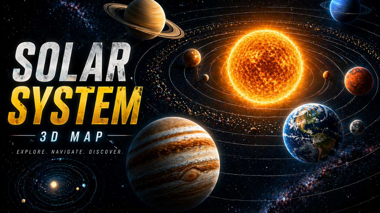 Planetary scaleSolar System 3D MapExplore planets, orbits and the outer system.
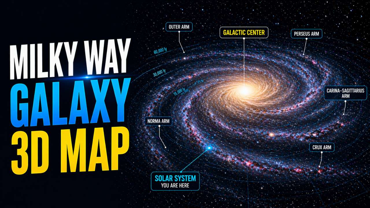 Galactic scaleMilky Way Galaxy 3D MapInspect spiral structure and the Solar System's region.
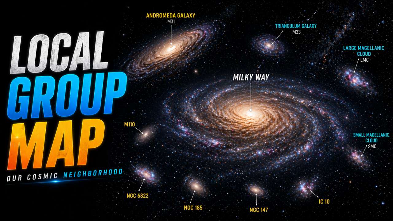 Galaxy neighborhoodLocal Group 3D ViewMeet Andromeda, Triangulum and nearby dwarfs.
 Supercluster scaleLaniakea Supercluster 3D MapFollow galaxy flows through our wider region.
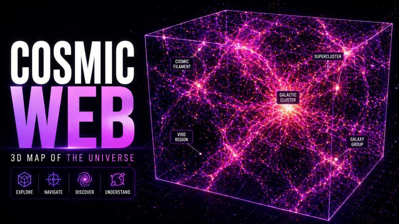 Largest scaleCosmic Web 3D MapExplore filaments, clusters and cosmic voids.
 All experiencesExplore Every Universe MapBrowse the complete visual map directory.
What This Universe Map Shows Accurately
The page accurately presents the hierarchy of the selected structures, their broad scientific relationships and the units appropriate to each level. It also separates gravitationally bound systems, such as the Solar System and Local Group, from larger descriptive structures such as Laniakea and the cosmic web.
The page does not claim that object radii, brightness, particle counts or gaps share one common scale. Those properties are adjusted to make each structure visible on an ordinary screen. Dedicated pages can preserve more detail because they cover a narrower physical range.
- Accurate concept: the nested cosmic address and broad structural relationships.
- Adjusted presentation: object size, separation, brightness and particle density.
- Illustrative geometry: procedural points represent classes of objects, not a complete astronomical catalog.
- Current knowledge: map descriptions follow established mission and survey explanations, with sources listed below.
How Astronomers Build 3D Maps of Space
Nearby stellar distances can be estimated with parallax: the apparent shift of a star against more distant backgrounds as Earth moves around the Sun. At galactic and extragalactic scales, astronomers combine standard candles, standard rulers, redshift and other techniques, each with its own uncertainties.
Large surveys measure positions and spectra for enormous numbers of galaxies and quasars. Redshift supplies a distance-related dimension after assumptions about cosmic expansion and local motion are considered. The resulting map reveals statistical structure, but it also carries selection effects, incomplete sky coverage and uncertainty.
A responsible 3D universe visualization therefore distinguishes measured data, scientific inference and artistic representation. This page acts as an orientation layer; the focused maps explain their own scale and modeling choices in greater detail.
3D Universe Map Questions
Is this a real-time map of every object in the universe?
No. No survey contains every cosmic object, and distant objects are seen as they were when their light began traveling toward us. The scenes are educational models connected to focused map experiences.
Why does each scale look similarly full?
Particle count and brightness are normalized for visibility. Real space is overwhelmingly empty, and a single linear scale would make smaller systems disappear.
Why is Earth shown first?
Earth is the observing origin, not the center of the universe. Astronomical coordinates and distances are built from measurements made here or nearby.
Can the entire universe be mapped?
Astronomers map the observable universe: the region from which light or other signals have had time to reach us. The universe beyond that observational horizon is not directly mapped.